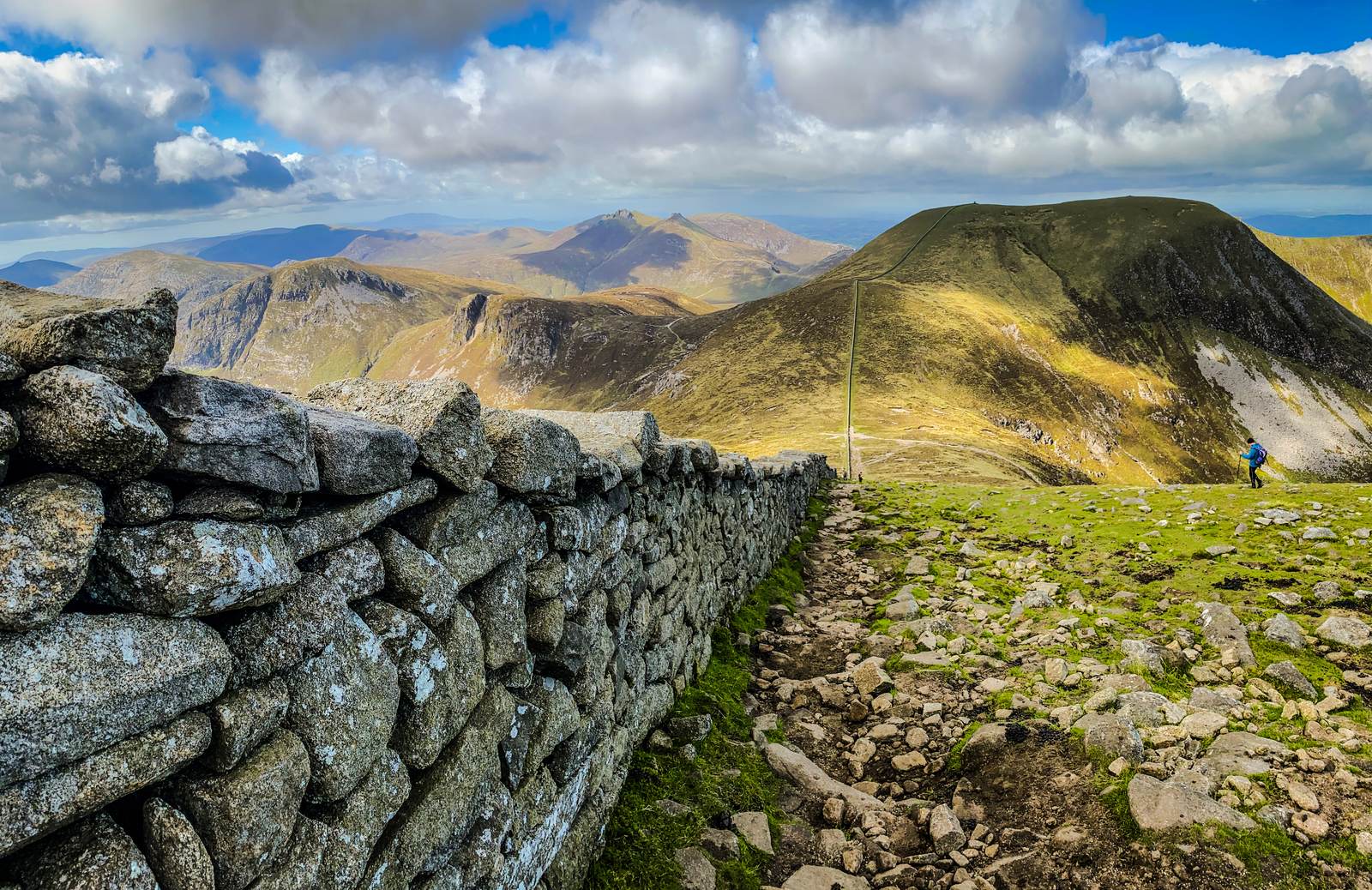
Finlieve More lies south of the main Finlieve summit and northeast of Finlieve Beg. These are separate named peaks in the southern hills.
- Summit height
- Height not listed
Find your bearings
Open in OpenStreetMap ↗See where this place sits in the Mourne landscape before planning your visit.
From the coast to the high ground.
© OpenStreetMap contributors · Map data & privacy
Loading the map connects to OpenStreetMap. Pins show locations, not a walking route or permission to enter.
Planning a walk
Choose a route that suits your group and check access before setting out. Take a current map and know how to use it. Even the lower hills can have rough, steep or exposed ground.
Sources & height notes
Height unavailable: the checked map peak has no elevation tag. No estimate or neighbouring height is substituted.
Locations are based on mapped summit points. For walking directions, use a current map and your chosen route.
Data licence: ODbL 1.0. Source credits.
OpenStreetMap contributors — Geofabrik snapshot 6 October 2026
Checked 2026-10-08: OpenStreetMap contributors — Geofabrik snapshot 6 October 2026 · Geofabrik regional OSM extract · OpenStreetMap attribution and ODbL licence.