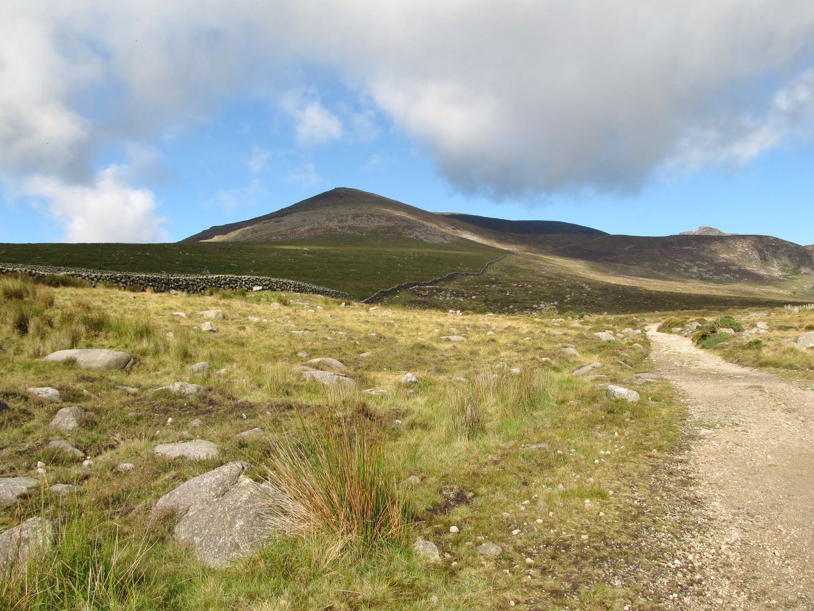
Slieve Binnian's granite tors and Back Castles give its ridge a distinctive character. The circular walk takes in the Mourne Wall and Blue Lough. Binnian stands south of Slievelamagan on the Annalong side of the range.
- Summit height
- 745.9 m
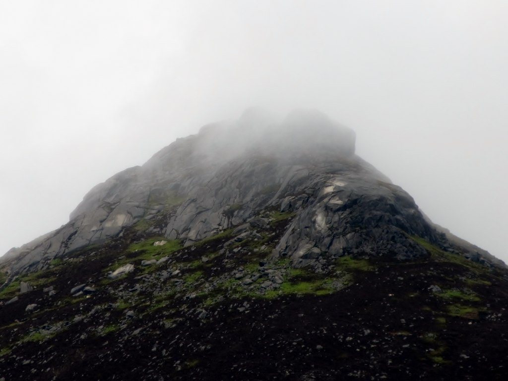
Other tops on this mountain
- Slieve Binnian East Top — 639 m
- Slieve Binnian North Top — 678 m
- Slieve Binnian North Tor — 682 m
Find your bearings
Open in OpenStreetMap ↗See where this place sits in the Mourne landscape before planning your visit.
From the coast to the high ground.
© OpenStreetMap contributors · Map data & privacy
Loading the map connects to OpenStreetMap. Pins show locations, not a walking route or permission to enter.
Planning a walk
Choose a route that suits your group and check access before setting out. Take a current map and know how to use it. Even the lower hills can have rough, steep or exposed ground.
Sources & height notes
DoBIH v18.6 published height. Other sources and surveys may differ; this is not total ascent.
Locations are based on mapped summit points. For walking directions, use a current map and your chosen route.
Slieve Binnian stands south of Slievelamagan, with Blue Lough on the published circuit. WalkNI describes its granite tors and Back Castles. DoBIH's surveyed summit height differs from the rounded 747 m common in tourism sources.
Data licence: ODbL 1.0 (combined catalogue); DoBIH fields also CC BY 4.0. Source credits.
The Database of British and Irish Hills v18.6
Checked 2026-10-08: The Database of British and Irish Hills v18.6 · DoBIH v18.6 dataset and CC BY 4.0 licence · OpenStreetMap named peak — Geofabrik snapshot · WalkNI — Binnian circuit.