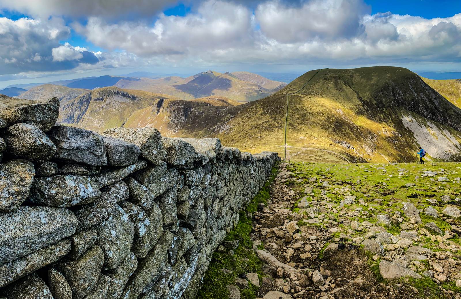
Some maps use the name Slieveacarnane for this northern point, east of the 296 m hill with the same name. Check the location as well as the name when comparing maps or choosing a route.
- Summit height
- Height not listed
Find your bearings
Open in OpenStreetMap ↗See where this place sits in the Mourne landscape before planning your visit.
From the coast to the high ground.
© OpenStreetMap contributors · Map data & privacy
Loading the map connects to OpenStreetMap. Pins show locations, not a walking route or permission to enter.
Planning a walk
Choose a route that suits your group and check access before setting out. Take a current map and know how to use it. Even the lower hills can have rough, steep or exposed ground.
Sources & height notes
Height unavailable: the checked map peak has no elevation tag. No estimate or neighbouring height is substituted.
Locations are based on mapped summit points. For walking directions, use a current map and your chosen route.
OpenStreetMap applies Slieveacarnane to this northern point east of the DoBIH summit using the same name. The sources locate the name differently, so the records remain separately qualified; no map height is available for this point.
Data licence: ODbL 1.0. Source credits.
OpenStreetMap contributors — Geofabrik snapshot 6 October 2026
Checked 2026-10-08: OpenStreetMap contributors — Geofabrik snapshot 6 October 2026 · Geofabrik regional OSM extract · OpenStreetMap attribution and ODbL licence.