Before your visit
- Start
- Fofanny is a working drinking-water reservoir, rather than a visitor park with a walking entrance described here. Do not enter treatment facilities, fenced areas or reservoir banks without permission.
- Distance
- This page introduces the landscape and water-supply setting. It does not provide a shore circuit, walking distance or a route through the operational site.
- Terrain and access
- Heathland, rough pasture and peatland form the wider upland catchment. They are not a described accessible visitor trail. Choose an established published walk elsewhere if you need a planned outing with a clear start and return.
- Dogs
- A dog walk through the reservoir site is not provided here. Respect access signs and permission limits; keep dogs under control wherever you are allowed to go.
- Toilets
- No visitor toilet is identified at Fofanny. Plan facilities in a town or visitor park before your journey.
- Refreshments
- Bring supplies for your chosen outing; this page does not identify a reservoir café or visitor shop.
- Parking
- No designated visitor car park is provided here. Do not use treatment-work entrances, gateways or narrow verges as parking places.
- Access
- Keep to permitted areas and follow NI Water’s signs. Swimming, diving and paddleboarding are prohibited at its reservoirs.
Checked 9 October 2026. NI Water: drinking-water catchments · NI Water: reservoir safety reminder
For current opening, charges and access, check the operator before travelling. Bring what you need rather than relying on refreshments being open.
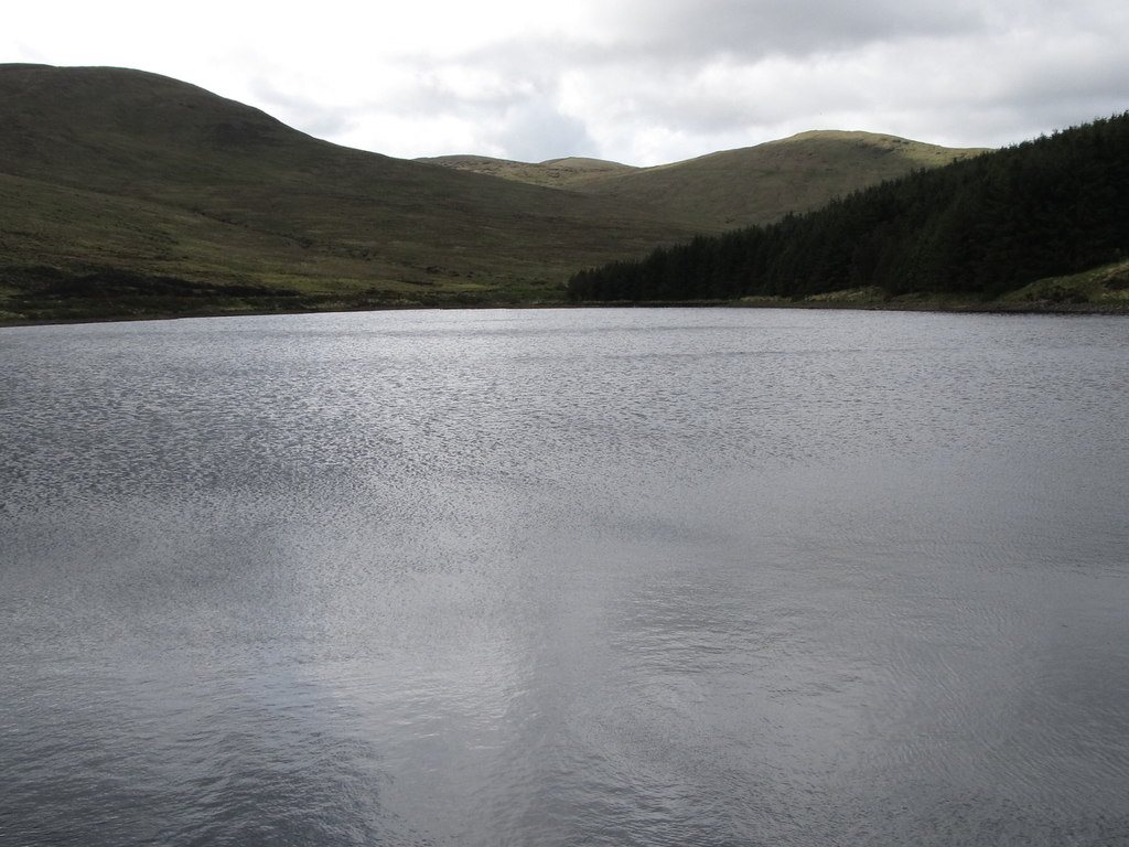
Fofanny Reservoir is part of the drinking-water supply system. Along with Spelga Reservoir and the Shimna River, it supplies the Fofanny catchment.
Heathland, rough pasture and peatland surround the catchment. Keep to permitted areas: the reservoir banks and treatment facilities are not places to enter without permission.
- Role
- Water source in the Fofanny catchment
- Visit scope
- Landscape context; no walking route provided
What to look out for
- Upland drinking-water catchment
- Linked with Spelga and the Shimna River
- Heathland and peatland context
Find your bearings
Open in OpenStreetMap ↗See where this place sits in the Mourne landscape before planning your visit.
From the coast to the high ground.
© OpenStreetMap contributors · Map data & privacy
Loading the map connects to OpenStreetMap. Pins show locations, not a walking route or permission to enter.
Plan your visit
Do not enter operational areas or assume shore access. Check NI Water guidance and local signs; swimming and other water activities are prohibited at its reservoirs.
Visitor information & access →
Sources & further reading
Checked 2026-10-08: NI Water · NI Water reservoir safety guidance.