Before your visit
- Start
- The published Bogie Line and Drinneevar approach starts at Newcastle Harbour. It crosses the Newcastle–Kilkeel road beside the Harbour Inn, then climbs Bogie Hill towards King Street and the signed start of the old Bogie Line. Cross the road with care.
- Distance
- The trail has Bogie Line, Drinneevar and Donard sections that can be combined in different ways. Choose your route on the published map; this page does not give one distance for every combination.
- Terrain and access
- Expect a very steep Bogie Line, stiles and narrow mountainside paths that are not waymarked. Quarries contain loose material, old workings and unprotected drops. This is not a wheelchair or pushchair promenade outing: keep to the trail and away from quarry edges.
- Dogs
- Follow current signs and keep your dog under control. Forest Service rules apply on public-forest sections; they do not establish permission for every quarry or hillside area.
- Toilets
- Use Newcastle’s public-toilet information before climbing; no toilet along the hillside trail is identified here.
- Refreshments
- Plan food and drink in town or carry them. Do not rely on a refreshment stop on the quarry sections.
- Parking
- Choose a permitted Newcastle parking place and allow for reaching the harbour start. The trail page does not promise its own dedicated car park.
Checked 9 October 2026. Official tourism: The Granite Trail · Forest Service: walking in forests · Council: public toilets · Council: car parking
For current opening, charges and access, check the operator before travelling. Bring what you need rather than relying on refreshments being open.
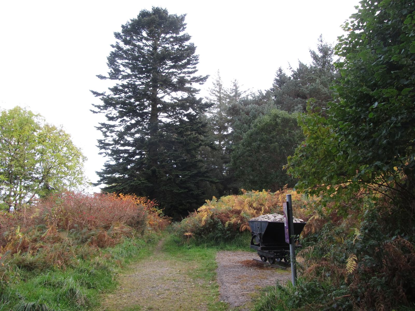
The Granite Trail follows Newcastle’s quarrying story from the coast into the hills. The old Bogie Line climbs towards Millstone Quarry, with sections including the Drinneevar and Donard loops.
Quarry remains and stone-cutting traces show how Mourne granite was worked. Woodland gives way to open hillside as you climb: this is a steep outdoor trail, so bring suitable footwear and a map.
- Starting context
- Newcastle Harbour / South Promenade
- Trail character
- Steep heritage outing; not a level promenade walk
What to look out for
- Old Bogie Line
- Millstone and Drinneevar quarry history
- Coast, forest and open hillside
Find your bearings
Open in OpenStreetMap ↗See where this place sits in the Mourne landscape before planning your visit.
From the coast to the high ground.
© OpenStreetMap contributors · Map data & privacy
Loading the map connects to OpenStreetMap. Pins show locations, not a walking route or permission to enter.
Plan your visit
Expect steep ground, narrow unmarked sections, loose quarry material and unprotected drops. Follow the trail map and keep away from quarry edges.
Visitor information & access →
Sources & further reading
Checked 2026-10-08: Visit Mourne Gullion Strangford.