Before your visit
- Start
- For an angling visit, use DAERA’s current location and access information for the reservoir near Kilcoo. A designated recreational walking entrance is not provided here.
- Distance
- This is reservoir and angling information, not a measured walking circuit. A fishing permit does not establish access to the whole shoreline.
- Terrain and access
- DAERA lists fishing stands, but no accessible fishing stands or accessible on-site parking. Do not assume a step-free lakeside route; check the access needed for your visit directly with the fishery.
- Dogs
- Check the fishery’s dog rules before bringing a dog. Keep to permitted areas and follow local signs.
- Toilets
- The fishery page does not identify a visitor toilet. Plan a toilet stop elsewhere before arriving.
- Refreshments
- No café or refreshment service is identified on the fishery page. Bring supplies for your visit.
- Parking
- DAERA states that there is no on-site car parking, including disabled parking. Confirm a permitted parking arrangement before travelling and keep roads and gateways clear.
- Fishing permissions
- Anglers aged 12 and over need a DAERA Game Rod Licence and Game Fishing Permit. Check the current season and rules; boats are not allowed. Fishing permission does not include swimming.
Checked 9 October 2026. DAERA: Lough Island Reavy
For current opening, charges and access, check the operator before travelling. Bring what you need rather than relying on refreshments being open.
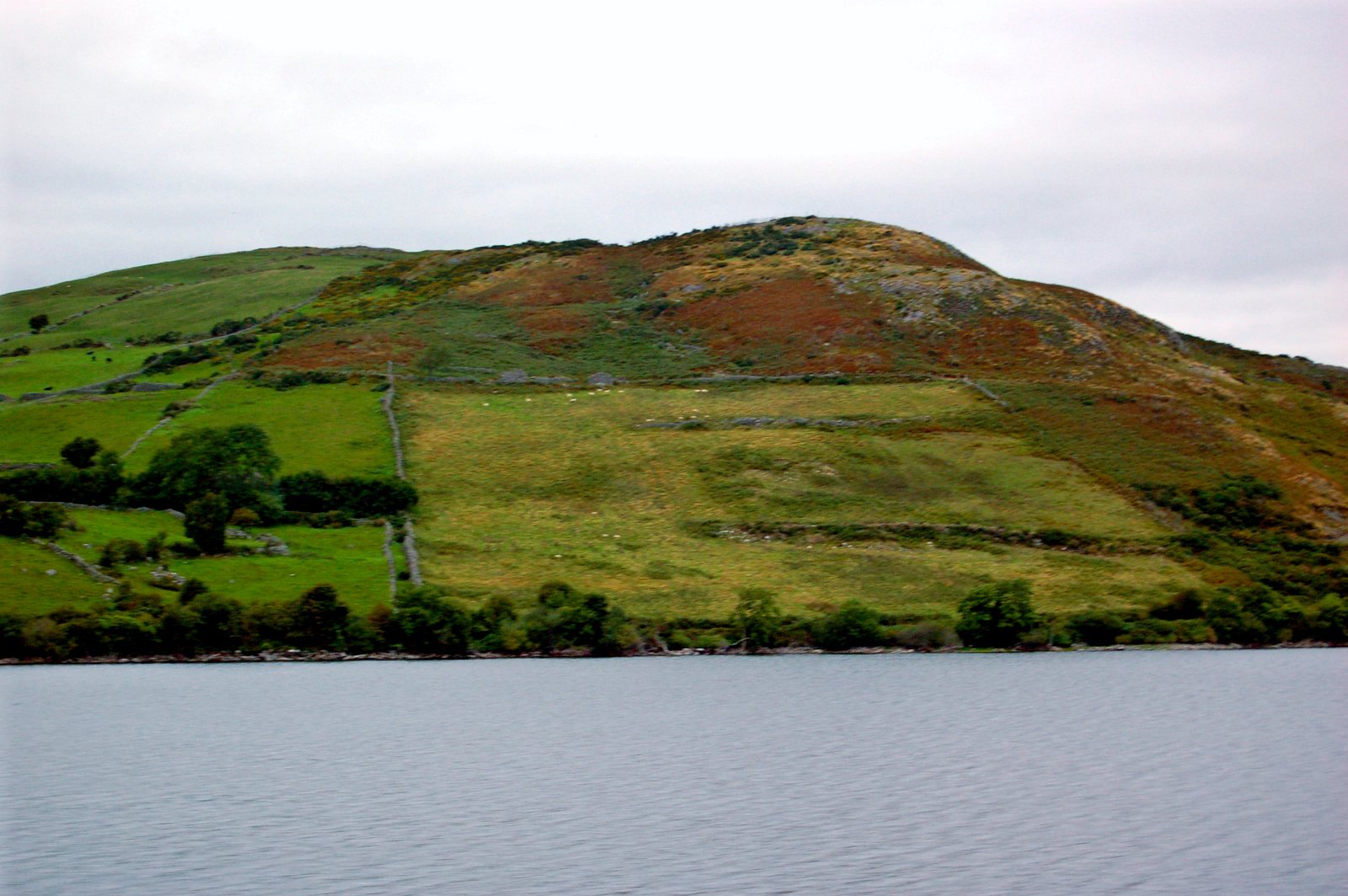
Lough Island Reavy is a man-made freshwater reservoir near Kilcoo. Built for water supply, it supports treatment works serving County Down and Belfast.
Angling is one reason to visit. Check the current permits, rules and access arrangements before travelling; permission to fish does not include swimming or access to the whole shoreline.
- Setting
- Near Kilcoo, County Down
- Water body
- Man-made freshwater reservoir
What to look out for
- Kilcoo and Mourne foothill setting
- Water-supply reservoir
- Official angling information
Find your bearings
Open in OpenStreetMap ↗See where this place sits in the Mourne landscape before planning your visit.
From the coast to the high ground.
© OpenStreetMap contributors · Map data & privacy
Loading the map connects to OpenStreetMap. Pins show locations, not a walking route or permission to enter.
Plan your visit
Check DAERA’s current permissions, access and parking guidance before an angling visit. Do not assume access to the full shore or permission for swimming.
Visitor information & access →
Sources & further reading
Checked 2026-10-08: DAERA.