Before your visit
- Start
- Use the reservoir car park on Kilkeel Road near Hilltown, BT34 5XL. The visitor lookout offers a reservoir view without a mountain ascent.
- Distance
- Treat this as a viewing stop. This guide does not provide a measured circuit around Spelga’s shore or permission to follow it all the way round.
- Terrain and access
- The visitor listing identifies accessible parking and an accessible toilet, along with picnic tables and benches. Those facilities do not establish a step-free route around the reservoir. Use designated viewing areas and keep clear of the road and operational entrances.
- Dogs
- Check NI Water’s local signs for any dog restrictions. Keep dogs under control and away from the water and restricted areas.
- Toilets
- The official visitor listing identifies an accessible toilet on site; the council lists Spelga Dam in its public-toilet directory. Check seasonal opening.
- Refreshments
- Bring a picnic or plan a food stop elsewhere. Picnic facilities are listed, but no café opening is promised here.
- Access
- Follow barriers and warning signs. Swimming, diving and paddleboarding are prohibited at NI Water’s reservoirs.
Checked 9 October 2026. Official tourism: Spelga Dam · Council: public toilets · NI Water: reservoir safety reminder
For current opening, charges and access, check the operator before travelling. Bring what you need rather than relying on refreshments being open.
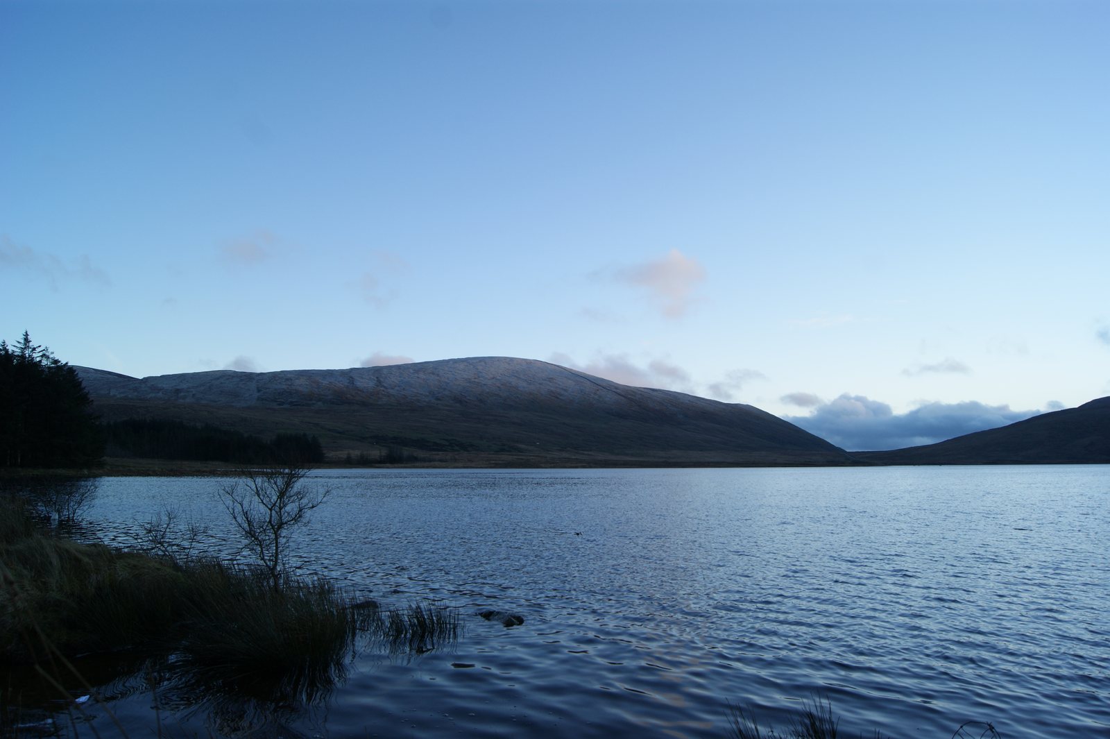
Spelga Reservoir occupies Deers Meadow and holds back the River Bann. Built in the 1950s, it offers a different setting from the reservoirs at Silent Valley.
The lookout at the Kilkeel Road car park gives you a view of the reservoir without adding a mountain climb to your day. Use designated viewing areas rather than assuming there is a route around the shore.
- Setting
- Kilkeel Road, near Hilltown
- Construction
- 1950s
- River
- Bann
What to look out for
- Deers Meadow setting
- River Bann reservoir
- Views from the listed visitor lookout
Find your bearings
Open in OpenStreetMap ↗See where this place sits in the Mourne landscape before planning your visit.
From the coast to the high ground.
© OpenStreetMap contributors · Map data & privacy
Loading the map connects to OpenStreetMap. Pins show locations, not a walking route or permission to enter.
Plan your visit
Check current access and parking information and keep gates and roads clear. Follow NI Water signs: swimming and other water activities are prohibited.
Visitor information & access →
Sources & further reading
Checked 2026-10-09: Official regional visitor information · NI Water reservoir safety guidance.