- Distance · Approx. circuit
- ~4.2 km
- Difficulty
- Strenuous
The practical details
Before you go
- Start
- Upper Kilbroney car park, Rostrevor Forest, near Rostrevor. Source grid reference J195175.
- Distance
- Approximately 4.2 km · circuit
- Terrain
- Steep inclines and forest tracks, with a climb back to the upper car park. Follow the numbered trail signs and check for working-forest diversions.
- Dogs
- Keep dogs on leads.
- Parking
- Parking charges apply at Kilbroney Park; check current council information.
- Facilities
- Café and toilets are listed in the main park area. They are separate from the upper car park start; check current opening.
- Forest access
- Working-forest operations can affect trails. Follow current notices and diversions.
Check the operator’s latest opening, charges and access before travelling.
Sources & practical details
The walk
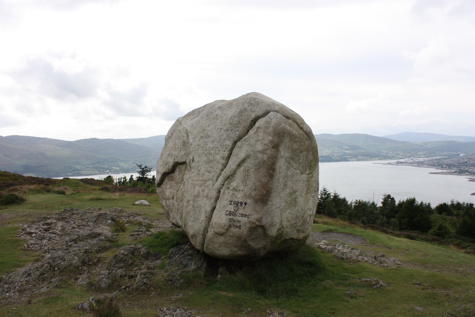
Climb from Kilbroney’s upper car park to Cloughmore Stone, then follow the published circuit through viewpoints, Fiddler’s Green and the ancient oakwood. The route passes the main park area before climbing back to the upper car park. Its shorter distance comes with steep inclines: choose it for a strenuous forest walk with a memorable landmark and lough views.
What makes this walk worth doing
- Cloughmore Stone and its viewpoint over Carlingford Lough.
- Fiddler’s Green, a clearing associated with local music and entertainment.
- Ancient oakwood and the park landscape around Rostrevor.
Know which walk you’re following
The approximately 4.2 km is the full 2.6-mile Cloughmore via Fiddler’s Green circuit, using the upper car park start. It is different from the short linear Cloughmore Stone walk.
This circuit does not climb Slieve Martin. Adding the summit creates a different walk, so the distance here does not cover that extension. Check the current trail board before leaving the car park.
Underfoot
Steep inclines and forest tracks, with a climb back to the upper car park. Follow the numbered trail signs and check for working-forest diversions.
Start & access
Start: Upper Kilbroney car park, Rostrevor Forest, near Rostrevor. Source grid reference J195175.
Enter Kilbroney Park from the A2 Shore Road between Rostrevor and Kilkeel. Parking charges apply. Start at the upper car park for this version of the circuit; keep dogs on leads and follow current forest notices.
Route map & access at WalkNI — Outdoor Recreation Northern Ireland
Give yourself enough time
Allow for your group’s pace, terrain, stops and daylight. Leave enough time and energy for the return journey.
Sources & walk details
Checked 15 October 2026. Original grade: Strenuous. Distances rounded for comparison. Where time or ascent is unavailable, no estimate is supplied. A summit height is different from a walk’s total ascent. About the route information.
Forest Service — Rostrevor Forest · Council — forest parks and current parking