- Distance · Approx. circuit
- ~9.5 km
- Difficulty
- Strenuous
The practical details
Before you go
- Start
- Banns Road car park off the B27, north of Kilkeel. Source grid reference J284214.
- Distance
- Approximately 9.5 km · circuit
- Terrain
- Uneven, unsurfaced tracks, river crossings and boggy, pathless mountain ground. This is a strenuous outing with exposed sections, not a surfaced lakeside stroll.
- Dogs
- Keep dogs on leads.
- Parking
- Use the Banns Road car park; keep the farm track clear.
- Facilities
- The publisher lists toilets and refreshments in Kilkeel or at Silent Valley Visitor Centre, not at this starting point. Check opening before relying on either.
Check the operator’s latest opening, charges and access before travelling.
Sources & practical details
Checked 2026-10-15. WalkNI — Outdoor Recreation Northern Ireland — Lough Shannagh circuit
The walk
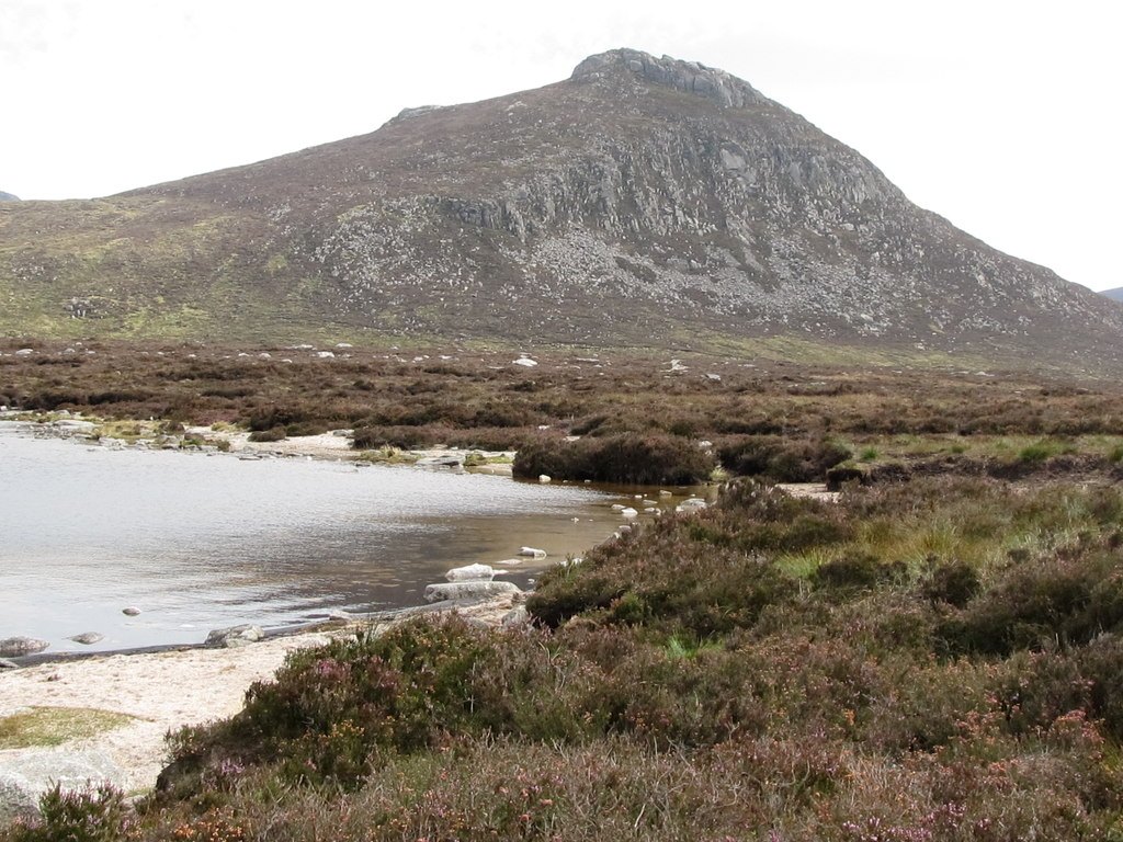
Walk from Banns Road into a quieter part of the central Mournes, where Lough Shannagh sits below the surrounding hills. The published circuit follows the lake and crosses Carn Mountain before returning to the Banns Road approach. Choose it for open mountain scenery and a varied lake-and-hill outing, with the fitness and navigation skills for rough, partly pathless ground.
What makes this walk worth doing
- The open-water setting of Lough Shannagh, with Doan rising nearby.
- A change from the farm track to wild lakeshore and mountain ground.
- Carn Mountain and stretches of the Mourne Wall within the published circuit.
Know which walk you’re following
The approximately 9.5 km is the complete published circuit from Banns Road. It is converted from WalkNI’s 5.9 miles and rounded for comparison.
This outing does not include climbing Doan. The summit detour is a different extension with extra ground and time; do not use the circuit distance for it. Follow the publisher’s route map and plan the whole return.
Underfoot
Uneven, unsurfaced tracks, river crossings and boggy, pathless mountain ground. This is a strenuous outing with exposed sections, not a surfaced lakeside stroll.
Start & access
Start: Banns Road car park off the B27, north of Kilkeel. Source grid reference J284214.
Keep the Banns Road farm track clear for working vehicles. Much of the walk crosses private land with access by landowner goodwill; respect signs, livestock and gates. Keep dogs on leads.
Route map & access at WalkNI — Outdoor Recreation Northern Ireland
Give yourself enough time
Allow for your group’s pace, terrain, stops and daylight. Leave enough time and energy for the return journey.
Sources & walk details
Checked 15 October 2026. Original grade: Strenuous. Distances rounded for comparison. Where time or ascent is unavailable, no estimate is supplied. A summit height is different from a walk’s total ascent. About the route information.