- Distance · Approx. circuit
- ~8.7 km
- Difficulty
- Very strenuous
The practical details
Before you go
- Start
- Ott car park on Slievenaman Road. Source grid reference J279279.
- Distance
- Approximately 8.7 km · circuit
- Terrain
- Unsurfaced tracks and rough mountain paths, sustained climbs and exposed high ground. The full circuit includes approximately 800 metres of road walking back to Ott; take care around traffic. Carry a map and compass and know how to use them.
- Dogs
- Keep dogs on leads.
- Parking
- Parking and picnic facilities are listed at Ott.
- Facilities
- The route listing does not specify toilets at Ott. Plan a toilet stop before reaching the trailhead.
- Road section
- The full circuit includes about 800 metres along Slievenaman Road back to the car park.
Check the operator’s latest opening, charges and access before travelling.
Sources & practical details
Checked 2026-10-15. WalkNI — Outdoor Recreation Northern Ireland — Meelmore and Meelbeg circuit
The walk
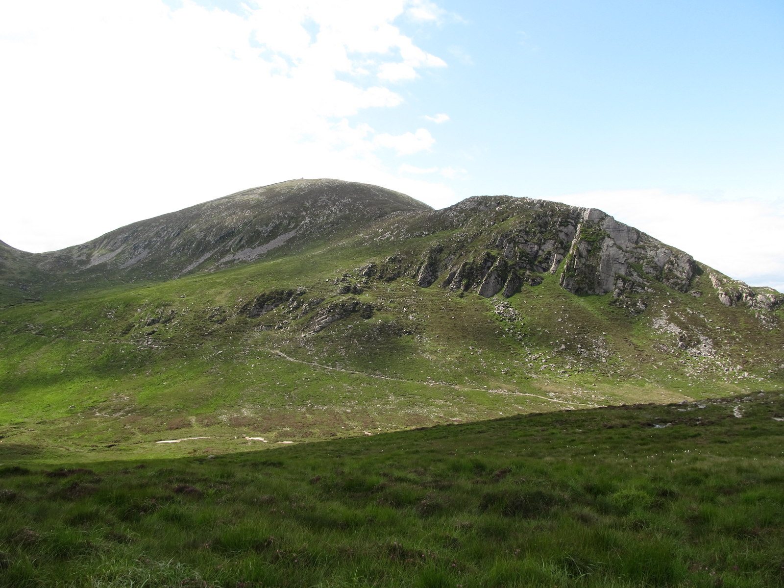
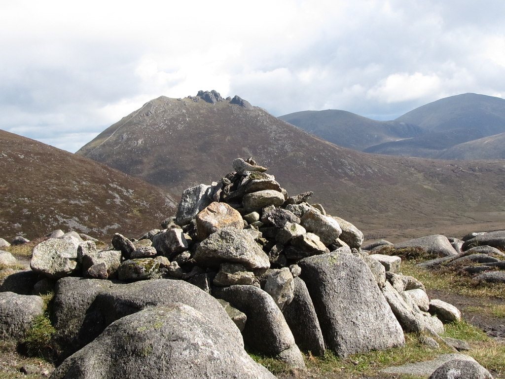
Start at Ott for a demanding circuit over Slieve Loughshannagh, Slieve Meelbeg and Slieve Meelmore. The open ridges give a different perspective on the central Mournes before the published route drops into the valley and passes Fofanny Reservoir. This is a very strenuous mountain outing with a road section at the end.
What makes this walk worth doing
- Three distinct summits: Slieve Loughshannagh, Meelbeg and Meelmore.
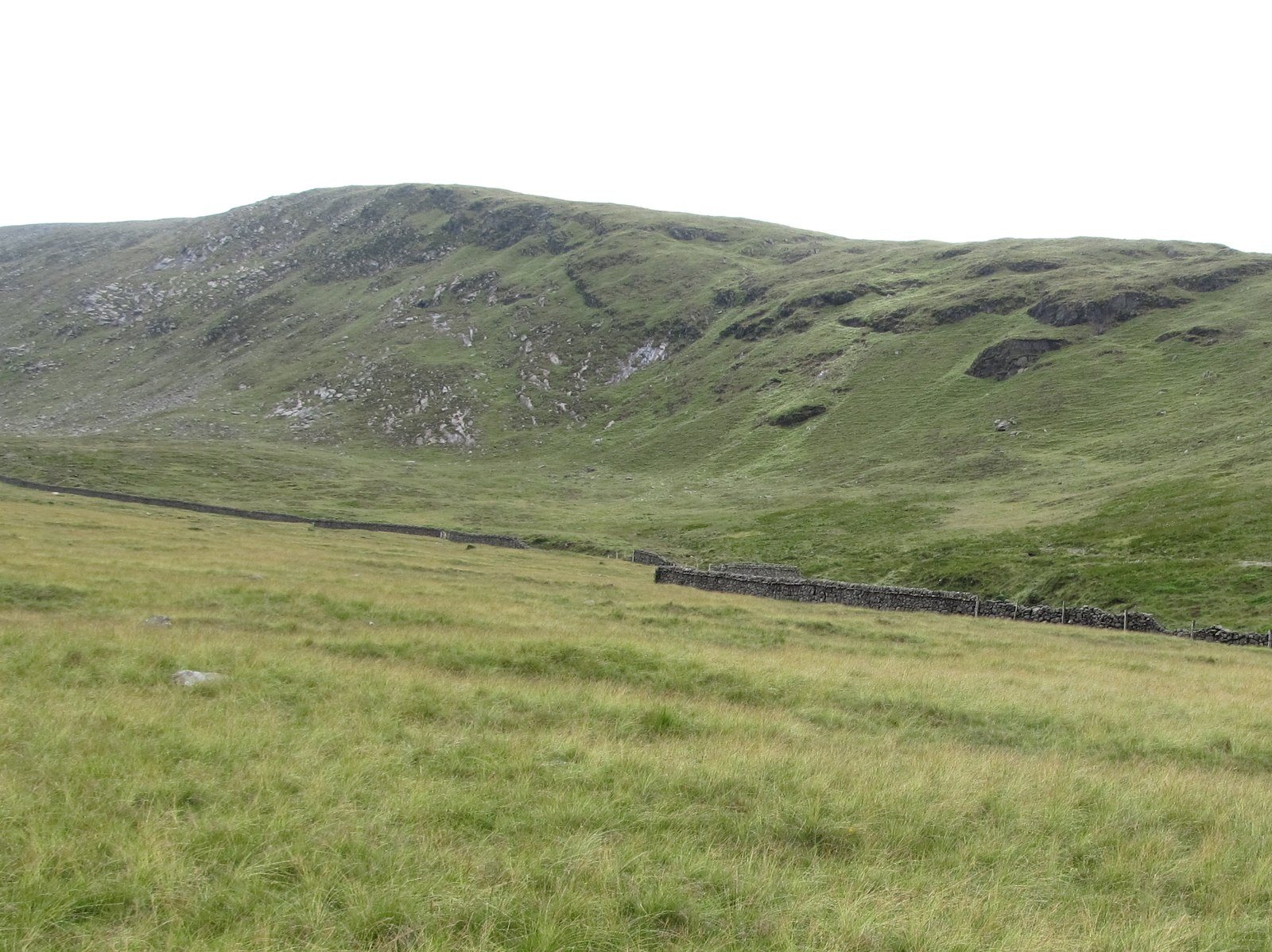
- The Mourne Wall crossing the open mountain landscape.
- The change from high ridges to the valley and Fofanny Reservoir.
Know which walk you’re following
The approximately 8.7 km covers WalkNI’s complete 5.4-mile circuit from Ott, including its road return. Starting at another car park changes the outing.
The Mourne Wall is a landmark, not a substitute for navigation. Check the linked route map before setting out and allow enough daylight for the descent and final road section.
Underfoot
Unsurfaced tracks and rough mountain paths, sustained climbs and exposed high ground. The full circuit includes approximately 800 metres of road walking back to Ott; take care around traffic. Carry a map and compass and know how to use them.
Start & access
Start: Ott car park on Slievenaman Road. Source grid reference J279279.
Use the designated Ott car park and keep gates and working access clear. Follow current signs and the published route information; keep dogs on leads.
Route map & access at WalkNI — Outdoor Recreation Northern Ireland
Give yourself enough time
Allow for your group’s pace, terrain, stops and daylight. Leave enough time and energy for the return journey.
Sources & walk details
Checked 15 October 2026. Original grade: Very strenuous. Distances rounded for comparison. Where time or ascent is unavailable, no estimate is supplied. A summit height is different from a walk’s total ascent. About the route information.