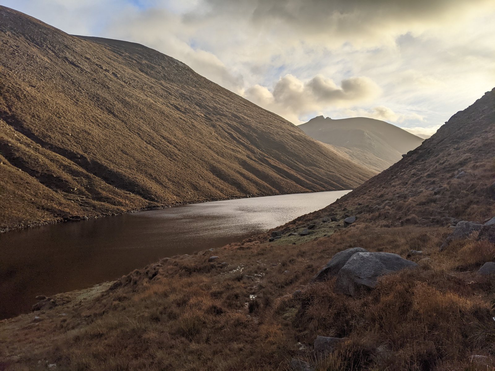
- Distance · Return walk
- ~10 km
- Difficulty
- Easy
Before your visit
- Start
- Silent Valley Mountain Park, Head Road, Kilkeel, BT34 4HU; start from the visitor car park at the southern end.
- Distance
- Approximately 10 km, including the return.
- Terrain
- A tarmac reservoir road beneath the mountains. Reaching the top of Ben Crom dam involves a separate stair climb.
- Dogs
- Keep dogs on leads.
- Facilities
- Parking, toilets and picnic facilities are listed at the park. Check current opening and charges; refreshments may not be available along the walk.
Checked 9 October 2026. NI Water — Silent Valley trails · NI Water — Silent Valley visitor information and current notices · NI Water — On the Lead, Whatever the Breed, 1 May 2026
For current opening, charges and access, check the operator before travelling. Bring what you need rather than relying on refreshments being open.
The walk
Follow the reservoir road from Silent Valley towards Ben Crom, then return the same way. The 10 km outing needs stamina even though it follows the road.
Underfoot
The walk follows a tarmac road. Allow for the full return distance; the route stays below the mountain summits.
Start & access
Start: Silent Valley Mountain Park, Head Road, Kilkeel, BT34 4HU.
Use the main Head Road gates. Check NI Water's admission, hours and access notices before travelling. Follow current signs and barriers.
Route map & access at NI Water — Silent Valley Trails
Give yourself enough time
Allow for your group’s pace, terrain, stops and daylight. Leave enough time and energy for the return journey.
Sources & walk details
Checked 8 October 2026. Original grade: Level one. Distances rounded for comparison. Where time or ascent is unavailable, no estimate is supplied. A summit height is different from a walk’s total ascent. About the route information.