- Distance · Approx. return
- ~9.3 km
- Difficulty
- Strenuous
- Walking time
- Allow about 6 hours return at a leisurely pace; experienced walkers may take around 4. Conditions and stops can make it longer.
Indicative return time: Visit Mourne Gullion Strangford — Slieve Donard walking time. Read the timing and planning notes →
Before your visit
- Start
- Donard Park car park, southern Newcastle; J375305
- Distance
- Approximately 9.3 km, including the return.
- Terrain
- Forest then rough mountain paths, overhanging river bank, river crossing, steep wall-side final climb, exposed summit; avoid Eagle Rocks cliffs.
- Dogs
- Leads required
- Facilities
- Parking and toilets are listed at Donard Park; refreshments are in Newcastle. Check current opening.
Checked 9 October 2026. WalkNI — Slieve Donard via Glen River
For current opening, charges and access, check the operator before travelling. Bring what you need rather than relying on refreshments being open.
The walk
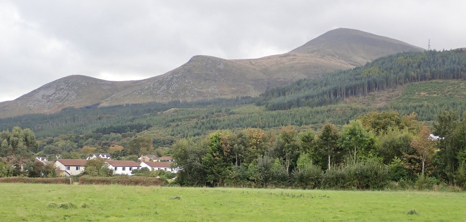
Climb from Donard Park beside the Glen River, through woodland and open valley to the saddle with Commedagh. The final ascent follows the Mourne Wall to the summit. Return the same way; this is a very strenuous mountain day.
Underfoot
Forest paths become rough mountain paths with a steep final climb. River crossings and exposed ground require care; avoid the Eagle Rocks cliffs. Mountain navigation and suitable equipment are essential.
Start & access
Start: Donard Park car park, Newcastle. Source grid reference J375305.
Approach Donard Park at the southern end of Newcastle's main street. For parking and toilets, check the route information and local signs before leaving. Keep dogs on leads.
Route map & access at WalkNI — Outdoor Recreation Northern Ireland
Start & landmarks on the map
Open in OpenStreetMap ↗See Donard Park’s starting point, Donard Bridge, the ice house and the summit. Read the climbing guide for the journey between them; take a current walking map for the climb.
From the coast to the high ground.
© OpenStreetMap contributors · Map data & privacy
Loading the map connects to OpenStreetMap. Pins show locations, not a walking route or permission to enter.
Give yourself enough time
Allow for your group’s pace, terrain, stops and daylight. Leave enough time and energy for the return journey.
Sources & walk details
Checked 8 October 2026. Original grade: Very strenuous. Distances rounded for comparison. Where time or ascent is unavailable, no estimate is supplied. A summit height is different from a walk’s total ascent. About the route information.