- Distance · Approx. circuit
- ~0.6 km
- Difficulty
- Easy
Before your visit
- Start
- Tollymore main car park / information board, J343325; blue waymarkers
- Distance
- Approximately 0.6 km, complete circuit.
- Terrain
- Step-free blue path with gentle gradients; firm surfaces include some loose material.
- Dogs
- Keep dogs under control, clean up and use leads where signs or staff require.
- Facilities
- Parking, toilets and picnic facilities are listed at the park. Check current opening and charges; refreshments may not be available along the walk.
Checked 9 October 2026. WalkNI — Tollymore Arboretum Path · Forest Service / nidirect — Tollymore Forest Park · Forest Service / nidirect — Walking in forests
For current opening, charges and access, check the operator before travelling. Bring what you need rather than relying on refreshments being open.
The walk
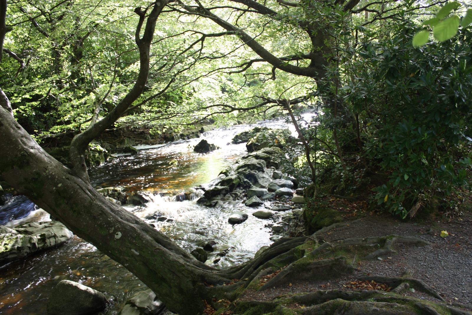
The blue-marked arboretum path is a short introduction to Tollymore’s tree collection. A gentle gradient makes it a different outing from the park’s longer hillside trails.
Underfoot
Firm paths with some loose material and gentle slopes. Ask the park about current suitability for your mobility needs.
Start & access
Start: Tollymore Forest Park main car park, near Bryansford. Source grid reference J343325.
Follow blue waymarkers from the car park. Vehicle entry charges apply. Check current Forest Service information and on-site signs before setting out.
Route map & access at WalkNI — Outdoor Recreation Northern Ireland
Give yourself enough time
Allow for your group’s pace, terrain, stops and daylight. Leave enough time and energy for the return journey.
Sources & walk details
Checked 8 October 2026. Original grade: Easy. Distances rounded for comparison. Where time or ascent is unavailable, no estimate is supplied. A summit height is different from a walk’s total ascent. About the route information.