Before your visit
- Start
- Use Donard Park car park at the southern end of Newcastle beside the Glen River. The park is reachable on foot from town and is the starting area for the Glen River ascent.
- Distance
- A visit to the park does not require a summit climb. For a measured mountain outing, use the separate Slieve Donard route and plan its full return distance.
- Terrain and access
- Parkland and the forest approach give way to much rougher mountain ground if you continue uphill. Accessible parking and an accessible toilet are listed at the park; they do not establish step-free access along the Glen River ascent.
- Dogs
- Check the park’s current signs for dog restrictions and keep your dog under control. Follow the Forest Service lead rules where the outing enters public forest.
- Toilets
- The visitor listing identifies an accessible toilet at Donard Park. Use the council’s current seasonal toilet information before relying on it being open.
- Refreshments
- Plan a food stop in nearby Newcastle or bring a picnic; this guide does not promise a café inside the park.
Checked 9 October 2026. Official tourism: Donard Park · Forest Service: walking in forests · Council: public toilets
For current opening, charges and access, check the operator before travelling. Bring what you need rather than relying on refreshments being open.
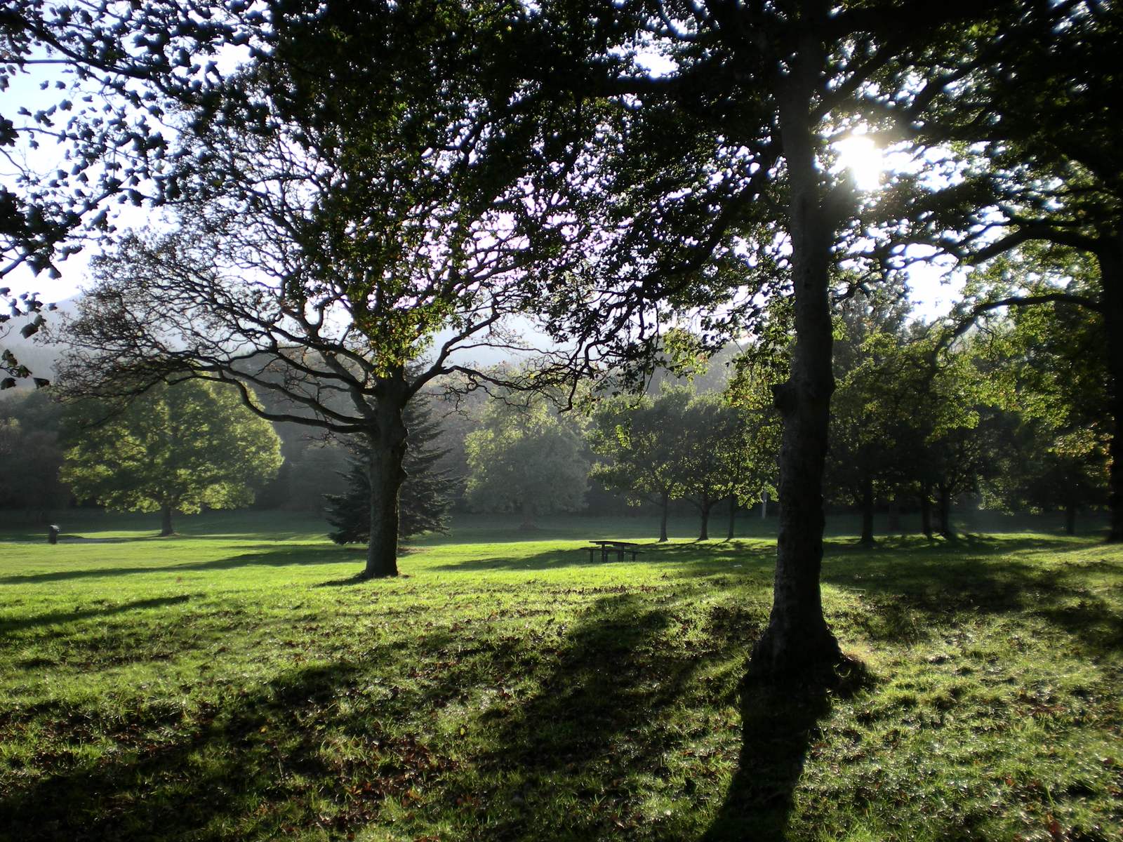
Donard Park lies beside the Glen River, close to Newcastle’s promenade. Playing fields, picnic space and the nearby woodland make it a useful place to meet or spend part of the day.
Donard Forest was planted in 1927. Its river bridges and cascades are part of the Glen River approach to Slieve Donard. You can enjoy the park without taking on the mountain climb.
- Setting
- Newcastle, beside the Glen River
- Forest history
- Donard Forest planting dates to 1927
What to look out for
- Glen River setting
- Picnic space and forest approach
- Starting area for the Glen River ascent
Find your bearings
Open in OpenStreetMap ↗See where this place sits in the Mourne landscape before planning your visit.
From the coast to the high ground.
© OpenStreetMap contributors · Map data & privacy
Loading the map connects to OpenStreetMap. Pins show locations, not a walking route or permission to enter.
Plan your visit
Check the Donard Park and Glen River map and local access signs. If you plan to climb Slieve Donard, prepare for a mountain day beyond the park.
Visitor information & access →
Sources & further reading
Checked 2026-10-08: Visit Mourne Gullion Strangford.