Before your visit
- Start
- Begin on Newcastle’s seafront promenade. Downs Road and Donard Park are named nearby car parks; check the council’s parking information and the signs where you park.
- Distance
- Choose your own out-and-back stroll and turn when it suits your group. The beach’s approximate length describes the shoreline, not a measured walking route.
- Terrain and access
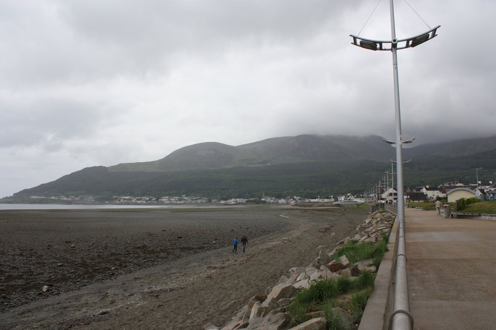
- The shore includes sand, pebbles and larger stones. Beach entrances include steps or a slipway; staying on the promenade is a different outing from crossing the beach. Accessible parking is listed, but this does not make every beach entrance or section suitable for a wheelchair.
- Dogs
- Dogs are restricted on parts of the beach from 1 April to 30 September. Outside that period they should be kept on a lead. Follow the signs for the section you visit.
- Toilets
- Public toilets are listed at Downs Road, Central and South Promenade, Donard Park, Castle Park and Island Park. The council publishes seasonal opening arrangements.
- Refreshments
- Town cafés and food shops let you combine the seafront with a food stop. Check your chosen venue’s current opening before relying on it.
Checked 9 October 2026. Official tourism: Newcastle Beach · Council: public toilets · Council: car parking
For current opening, charges and access, check the operator before travelling. Bring what you need rather than relying on refreshments being open.
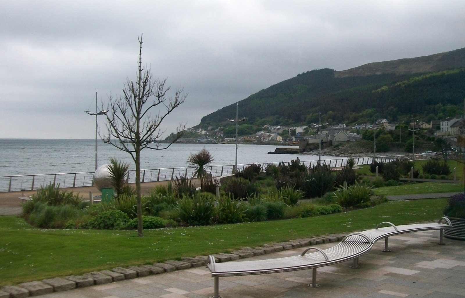
Newcastle’s beach and promenade put the coast, town and Mourne Mountains together. Walk the seafront, look towards the mountains and leave time for a stop in town. The shore mixes sand, pebbles and larger stones; the promenade offers a different surface from the beach.
The beach has a place in early aviation history: Harry Ferguson flew a small aircraft across it in 1910.
- Setting
- Newcastle seafront, County Down
- Beach length
- Approximately 2.5 km; not a measured walking itinerary
What to look out for
- Promenade beside the beach
- Mourne Mountains backdrop
- Harry Ferguson aviation connection
Find your bearings
Open in OpenStreetMap ↗See where this place sits in the Mourne landscape before planning your visit.
From the coast to the high ground.
© OpenStreetMap contributors · Map data & privacy
Loading the map connects to OpenStreetMap. Pins show locations, not a walking route or permission to enter.
Plan your visit
Check the council beach information and signs for water-quality advice, restrictions and access. Plan parking and your return transport separately.
Visitor information & access →
Sources & further reading
Checked 2026-10-08: Visit Mourne Gullion Strangford.